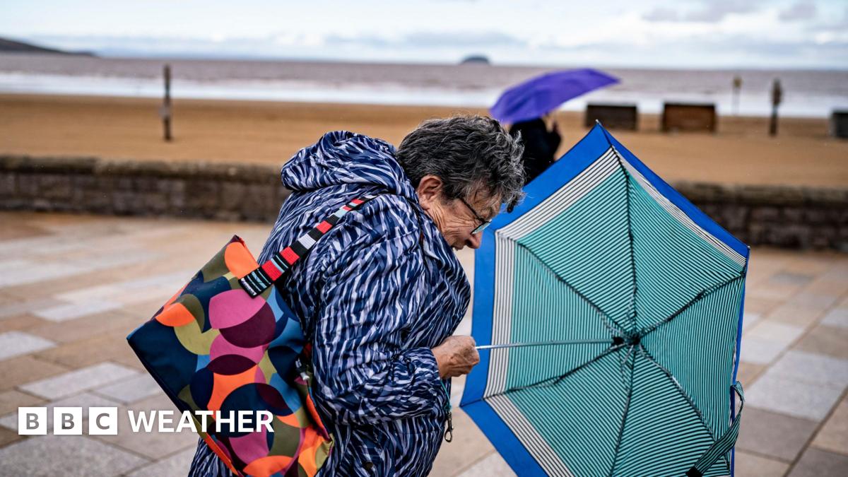
Strong winds and heavy rain are forecast for the UK this weekend.
An area of low pressure is set to develop and move in during Sunday and into next week.
The Met Office have extended their yellow wind warnings for most of England and Wales, valid between 20:00 BST Sunday and 18:00 BST Monday.
The strong winds and heavy rain could bring some impacts such as minor damage and travel disruption, especially to ferry services.
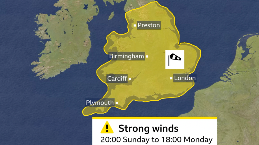
The Met Office has issued a yellow warning for strong winds
Ahead of these strong winds and heavy rain forecast for Sunday and Monday, there will continue to be lots of showers and some thunderstorms on Saturday.
Sunday will start bright but heavy outbreaks of rain will spread to all areas, becoming increasingly windy with gales developing in the south and west of the UK.
Winds will gust to 50-60mph around coasts and hills. Winds this strong could bring down some tree branches and lead to some localised disruption.
The Met Office’s yellow warning for wind covers most of England and Wales.
Heavy rain is an additional hazard with 10-30mm falling widely with some western hills having around 70mm.
There is a risk of surface water flooding and difficult driving conditions with the possibility of drains blocked by leaves, in part due to the false autumn leading to early leaf fall.
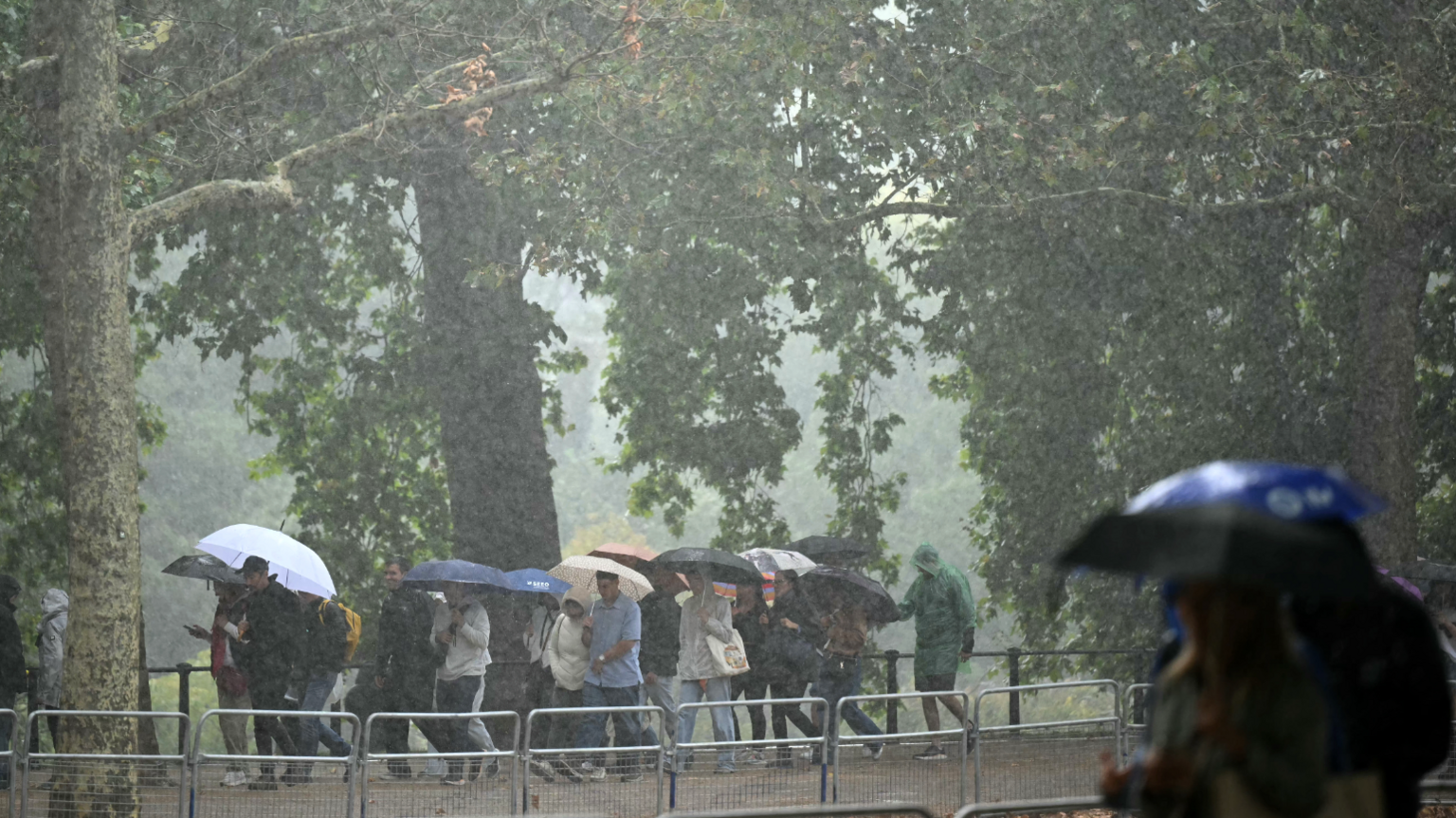
More showers are expected over the weekend with heavier rain and strong winds arriving on Sunday and into Monday
Will this be Storm Amy?
Areas of low pressure could be named by either the Met Office, Met Eireann or KNMI – the Netherlands weather service – if expected impacts are significant.
The latest list of storm names were released in early September with Amy, Bram and Chandra being the first three named storms.
There is a chance that wind gusts could reach 70-80mph, bringing much greater impacts – including blowing over a few trees with disruption to transport and power.
However, the area of low pressure bringing this unsettled weather is not thought – at the moment – to bring widespread impacts enough to be named by either Met Eireann or the Met Office.
Details can of course change so it would be worth staying tuned to the latest forecast.
Change in weather patterns
There’s been a notable change in our weather patterns since in recent weeks when a series of low pressure systems have brought widespread rain and showers.
Some areas of the north and west of the UK have already had more rainfall than average this September, even though we’re not even at the half way point of the month. This all follows the hottest summer on record, which was also very dry for many.
We often see a change to more unsettled weather at this time of year as the jet stream becomes more active as we head into autumn.